I uploaded all the maps to Google docs - google streets, google aerial overview, map 1, map 2, map 3, map 4, map 5, map 6, map 7, map 8, map 9 - so you can zoom in as much as you like.
The Bush Stadium TIF consumes 604 acres and 419 parcels supposedly to support development over a couple of blocks.
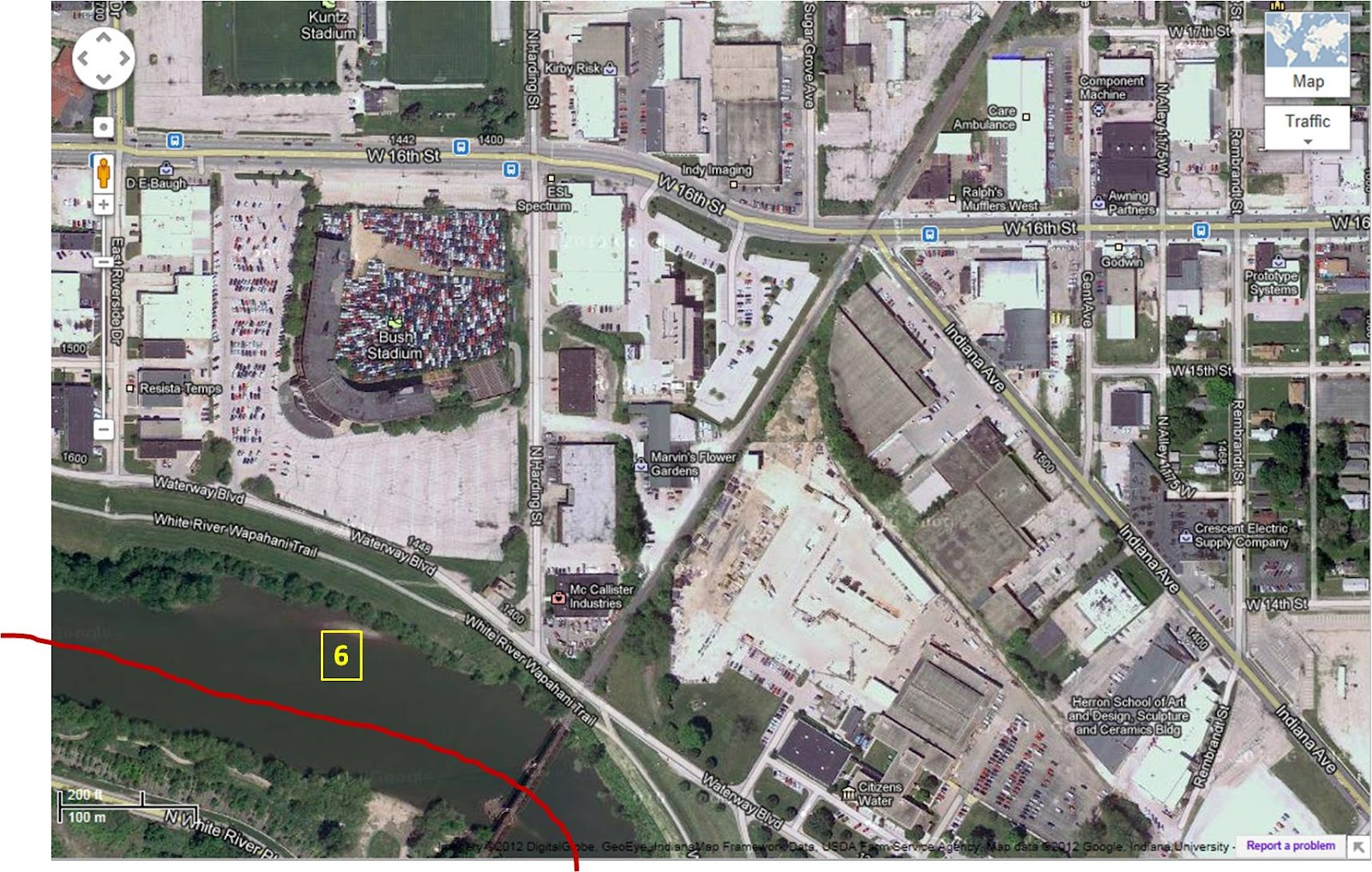
Below are a number of maps. The first two are the street and aerial maps of the proposed TIF footprint. The aerial map has been enlarged and split into 9 component maps that show street names and building structures in more detail. Numbers on the aerial map denote the location of the 9 component maps.


6 comments:
and,,the problem is?
All I see is a ton of local jobs and potential new minority involvement.....
the plantation bosses dont like that independent thinking
What development is this supporting ? I doubt this redistribution of tax money will directly benefit the mostly poor, mostly black denizens in that area.
unigov - there has been no disclosure of the specific projects to be funded with public money, nor the price tag to the public.
If we could get full disclosure we wouldn't have to guess at the specifics and could address the pros and cons of the proposed TIF like thinking adults.
The water company property is going to be developed along with Beurt SerVaas's property. Someone told me Beurt owns some of the property next to the old stadium. I've heard condo's or apartments and some retail properties will be built off of Waterway Boulevard. With the new hospital going up look for a bridge over the river (foot and bike) and the pay for political play contractors will benefit at the expense of the taxpayers.
Opps there is already a bridge (haven't been down that way in a long while)over the White river trail. The whole area in the tif district along 16th, Waterway etc. is the new hot spot in Indy. They have built two large apartment buildings along 10th and Indiana Ave. My problem with the new tif district is city government is using my tax money to give to developers to develop land. All they are doing is shifting people and businesses from one part of Indy to another. It only shifts the tax dollars and commerce from one area of the city to another part of the city. Then it also robs the township in that tif area of much needed tax revenue. Unless you raise taxes it will eventually lower your services in the area. I wonder will the people that buy these condos and run these businesses pay for extra police protection out of their own pocket?
I'm about 98% sure I've seen development plans for section 5 of these aerials. I'll do some digging and come back here with what I find, if anyone is interested. Maybe it's already known.
Post a Comment